Wildfire Research Unit: Projects
We conduct analyses of spatial data including electric wire distribution, historic fire cases, flammability, and declivity of vegetative cover, as well as satellite images with GIS to review over 800 polygons throughout northern California and estimated whether the polygons should be added into or removed from the risk area.
The objective of the PSPS-DF is to establish a framework and criteria for hardened electric distribution circuits to remain energized (i.e., "descoped from PSPS") during PSPS conditions that is in accord with the guidelines of the California Public Utilities Commission (CPUC).
The purpose of PSPS is to mitigate the risk of utility infrastructure contributing to wildfire risk by proactively de-energizing facilities. We are developing a decision support tool that assist utilities to make better decisions.
The objective of this project is to develop and validate an egress model that predicts the likelihood of successful evacuation and estimated length of time required.
This project presents an integrated methodology for the assessment of risks due to wildfires caused by equipment and vegetation failures in electrical distribution lines.
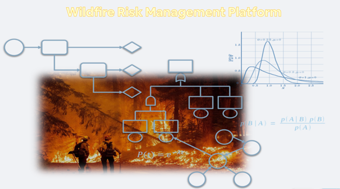
In this project, our vision is to develop an overarching computational platform for wildfire risk management at different spatial, temporal, and uncertainty scales.


